From Puerto de La Cruz Descent of the Barranco de Antequera and return by boat to Santa Cruz
6 h
Bekräftelse direkt
Om den här aktiviteten
Hiking Anaga to go down to the second longest natural beach of Tenerife, which is very little traveled due to its limited accessibility. It is only possible to arrive there walking or by boat.
The route begins in La Cumbrilla from where we will go down the ravine with the same name, to reach the beach of Antequera where a boat will pick us up to move to Santa Cruz de Tenerife.
The route is a representation of the Canarian ecosystems, from laurel forests to extensive vegetation of cardonal-tabaibales, which earned it the consideration of Natural Reserve.
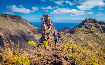
Antequera is one of Tenerife's most remote beaches, just waiting to be discovered. It can only be reached along a rather rough trail or by sea. But it is worth the effort to take in the extraordinary scenery by the cliff of the Anaga mountain range, with the Antequera rock formation at the end.
The best way of getting there is to take one of the boat trips that set off from Santa Cruz and San Andrés. Access along the trail is quite tricky and you will need to be in good physical condition and reasonably experienced.
The beach is made of fine grey sand and the best time to come is at low tide when it is not covered by the sea.
It is popular among nudists.
Useful information
Location: Igueste de San Andrés, Santa Cruz de Tenerife.
Length: 400 m (1,300 ft).
Width: 25 m (80 ft).
Composition: Black sand.
Means of access: On foot (rough) or by boat.
Disabled access: No.
Type of beach: Very isolated.
Amenities: No.
Parking facilities: No.
Bus service: No.
Coordinates: 28º 32' 06.999'' N 16º 07' 56.002'' W.
UTM coordinates: X: 389 228.00 Y: 3 157 023.00 H:28.
Läs mer
Visa mindre
The route begins in La Cumbrilla from where we will go down the ravine with the same name, to reach the beach of Antequera where a boat will pick us up to move to Santa Cruz de Tenerife.
The route is a representation of the Canarian ecosystems, from laurel forests to extensive vegetation of cardonal-tabaibales, which earned it the consideration of Natural Reserve.
Antequera is one of Tenerife's most remote beaches, just waiting to be discovered. It can only be reached along a rather rough trail or by sea. But it is worth the effort to take in the extraordinary scenery by the cliff of the Anaga mountain range, with the Antequera rock formation at the end.
The best way of getting there is to take one of the boat trips that set off from Santa Cruz and San Andrés. Access along the trail is quite tricky and you will need to be in good physical condition and reasonably experienced.
The beach is made of fine grey sand and the best time to come is at low tide when it is not covered by the sea.
It is popular among nudists.
Useful information
Location: Igueste de San Andrés, Santa Cruz de Tenerife.
Length: 400 m (1,300 ft).
Width: 25 m (80 ft).
Composition: Black sand.
Means of access: On foot (rough) or by boat.
Disabled access: No.
Type of beach: Very isolated.
Amenities: No.
Parking facilities: No.
Bus service: No.
Coordinates: 28º 32' 06.999'' N 16º 07' 56.002'' W.
UTM coordinates: X: 389 228.00 Y: 3 157 023.00 H:28.
Ingår
- Lunch
- Snacks
Ingår ej
- Lunch
Extra
- Confirmation will be received at time of booking
- Not wheelchair accessible
- Know before you goEdit
- Comfortable clothes for trekking. Swimsuit and sunscreen.
- This tour/activity will have a maximum of 99 travelers
Funktioner
Turism
65%
Kulturellt
55%
Samlingar
Den här upplevelsen ingår i dessa samlingar
Du kanske också gillar


 Visa alla 28 Samlingar
Klicka för att upptäcka andra upplevelser
Visa alla
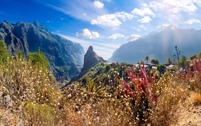
Samlingar
Masca
15 Aktiviteter
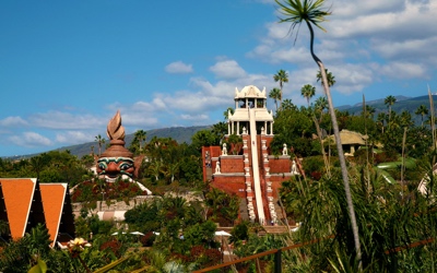
Samlingar
Adventure Parks
17 Aktiviteter
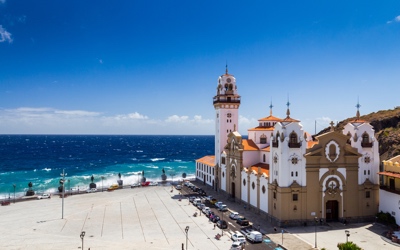
Samlingar
Santa Cruz City Tour
8 Aktiviteter

Samlingar
Classes & Workshops
4 Aktiviteter

Samlingar
Quad Bike
7 Aktiviteter
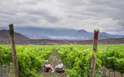
Samlingar
Wine & Gastronomy Tour
20 Aktiviteter
Samlingar
Sunset
10 Aktiviteter
Samlingar
Natural Parks & Gardens
5 Aktiviteter
Samlingar
Padi Divemaster Course
18 Aktiviteter
Samlingar
Mount Teide & National Park
73 Aktiviteter


